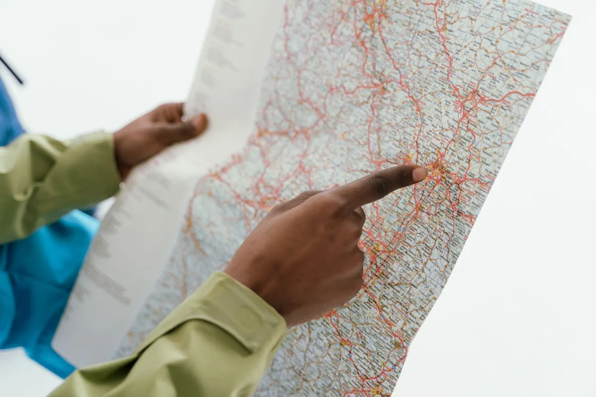
Beginner's Guide to Reading Transit Maps Without Getting Lost
You are standing under a fluorescent light in a station you have never used, holding a map that looks like a plate of spaghetti, and the train you need leaves in four minutes. Nearly everyone has that moment. The good news: transit maps are not beautiful puzzles, they are instruction manuals drawn in color, and they follow a small set of rules that barely change from city to city. Learn those rules once and a map in Lisbon or Osaka will feel roughly as readable as the one back home.
On almost every transit map, a color represents a service — a line you can ride from end to end — not a street or a district. When a thick red ribbon crosses the city, that red is what you look for on signs, on the front of the train, and above the platform.
So start every journey by finding your color rather than your route. Locate the station where you are, locate the station where you want to be, then trace the single colored strand that connects them. Only after that should you study the tangle of everything else.
Two practical points. First, maps are schematic: distances are compressed and curves are straightened so the diagram stays legible, which means a station that looks far away may be a two-minute ride. Second, colors run out. Most systems have more lines than clearly distinguishable colors, so neighboring shades appear — a green and a slightly different green — and you need the line's name or number to be certain. Note both.
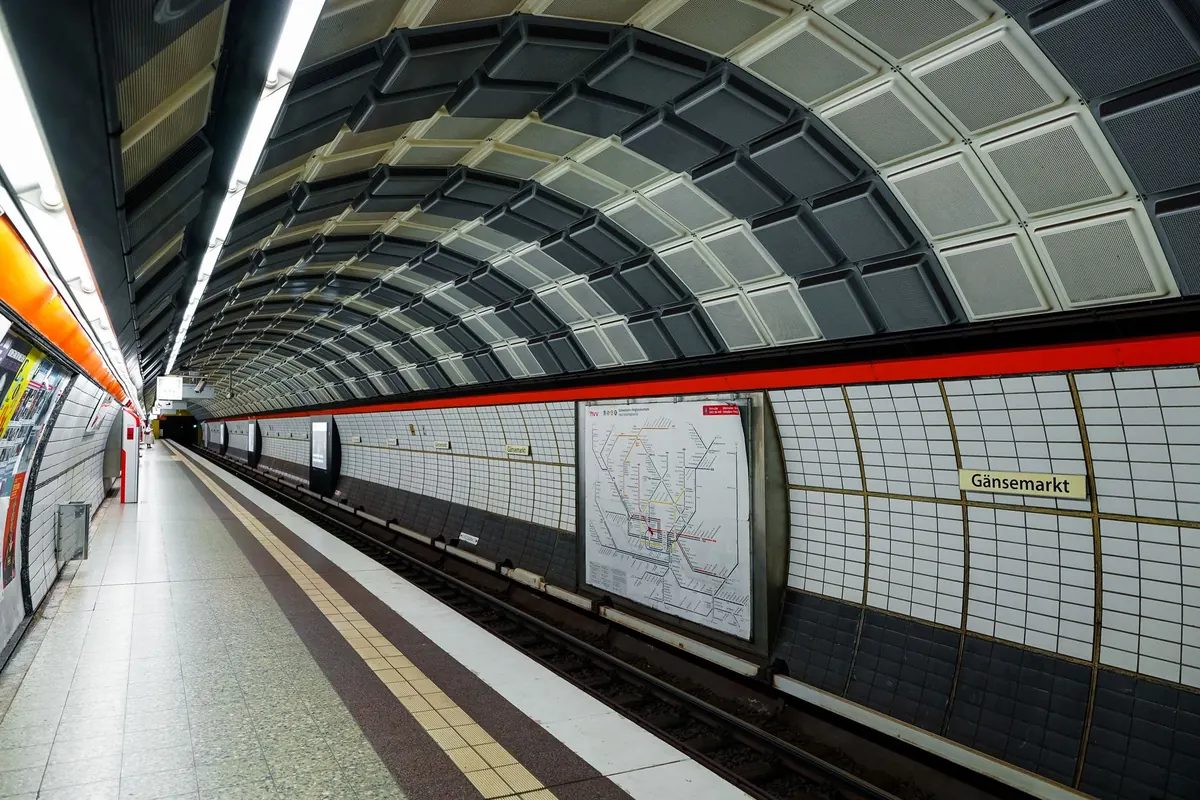
Where several strands run side by side, the map is telling you those services share a corridor. Interchanges along it will be marked with a small circle, a white dot or a short tick.
This is where first-time riders get caught. A line runs in both directions, so the map alone cannot tell you which platform to stand on. The system solves this with a direction label, and there are two main conventions.
In Paris, Tokyo and many European and Asian systems, trains are labeled by their final stop. The platform sign shows the name of the terminus, and that is your direction. If your stop falls between here and the terminus, get on. If the terminus is behind you, cross to the other platform.
New York platforms say uptown or downtown, usually with a borough or line attached. London signs read northbound, southbound, eastbound or westbound. These are relative to the line at that point, not to the city's grid, so a northbound train can later turn east without changing its label.
Whatever the convention, the check is the same: read the whole label, not the first word, because branches of the same line often share a direction and split much later. Before the doors close, compare the destination displayed on the train itself with the one you noted from the map. This matters most on lines that fork.
An interchange appears as a circle, a dot or a connecting bar. It promises you can change lines without leaving the system, but it says nothing about how long that promise takes. Some interchanges are a step across a platform. Others are a five-minute walk through tunnels, up two escalators and along a corridor.
Before you ride, do three things with every transfer on your route:
Then decide whether you are optimizing for fewest transfers or fewest stops. One clean line with twelve stops often beats three changes, because every change costs time and attention. Choose before you board, not while standing at the platform edge.
Platform signs carry more than a direction. Look for three things: the direction label, the destination of the next train, and any note about stopping patterns. A sign reading "Northbound, via the city center" tells you something a bare "Northbound" does not.
Small print holds the exceptions. Peak-only services, express trains that skip stops, branch services running every second train, weekend closures — all of it lives in footnotes, dashed lines and legend symbols.
Every map has a key that decodes the icons: dashed for limited service, hollow for interchange, an airplane for the airport link. Two minutes with the legend saves an hour of confusion. On a phone, zoom into the legend before you zoom into the middle of the map.
Do this before you enter the station, standing still, with both hands free. Reading a map while walking down a platform is how people end up on the wrong train going the right way.
Three habits cover most situations. Note the terminus of your line before boarding and repeat it to yourself; it is the single most useful piece of information on any platform. Count your stops and glance at the station name on the wall at each one. And when a station has several exits, find the right one on the map before you arrive — exit letters, numbers or street names — because surfacing on the wrong side of a big station adds ten minutes to the end of a trip.
If you do get lost, the most reliable move is also the least glamorous: get off at the next station, find a staffed booth or a platform map, and reset. Trains run both ways, and almost every mistake costs a few minutes rather than the day. A transit map is not a test you can fail. It is a set of directions you are allowed to read twice.
Photo: Wolfgang Weiser / Pexels
Previous Post
10 Map Layers Every Traveler Should Check Before Booking a Hotel
Next Post
Common Navigation Mistakes Tourists Make in Historic City Centers