Comparing Route Options: Fastest vs Scenic vs Safest
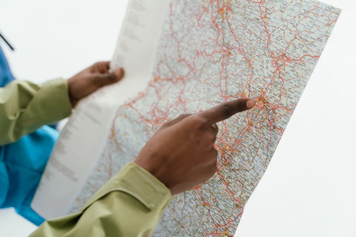
Three lines appear on the screen, all ending at the same address. The first is a thick band of motorway and says 41 minutes. The second follows a thinner road along a river and adds nine minutes. The third swings wide around the city and promises fewer junctions. You have a coffee in the cupholder, a passenger who gets carsick, and a check-in time you would rather not miss.
Every route choice hides a tradeoff, and most drivers settle it on autopilot: tap the first option, accept, drive. A couple of minutes spent deciding what you actually want from the trip usually pays better than the minutes you save by skipping the decision. Here is how the three classic options compare, and when each one earns its place.
The labels are shorthand for assumptions baked into the software, and those assumptions are not identical from one app to the next. Fastest is the most straightforward: it is the route with the lowest predicted travel time, weighted by what traffic normally does at that hour, adjusted for whatever is happening right now.
Scenic is the fuzziest. No app can measure a view, so it gets approximated: smaller roads, lower traffic volumes, proximity to a coast, a ridge, a park or a lake, sometimes a curated layer of routes someone decided were worth driving. Safest is a blend of road classification, junction density, speed limits, crash history where that data exists, and increasingly lighting and time of day. None of it is a guarantee of anything. It is a ranking, not a promise.
Two apps can give you two different "scenic" routes, and one of them may mean a winding mountain road with no barriers and no pull-offs. "Safest" can point to the motorway, which is statistically the calmest place to be, or to a low-speed grid of streets where nothing happens quickly. Before you accept, zoom in. Look at which roads the line actually uses, where it crosses a river, whether the last two kilometres are a tangle of one-way streets. That thirty-second look tells you more than the label does.
Fastest rarely means shortest. Picture a run to a coastal town: the direct road is 34 km with nineteen junctions and a level crossing; the ring road is 51 km with two exits. At eight in the morning the longer route wins by a quarter of an hour. At eleven at night it wins by even more, because there is nothing left to slow it down. But at four on a Friday afternoon, one bad merge can hand the advantage back to the little road.
That is the catch. A predicted time is a forecast built from what usually happens, and routes with a single bottleneck are more fragile than routes with several small delays. One closed lane and the whole advantage evaporates.
There is also a cost at the far end that the estimate ignores. A fast route that drops you into a crowded centre with nowhere to park is not fast. Add ten or fifteen minutes for parking and the walk, and compare door to door rather than exit to exit.
Motorway miles are quick but monotonous; city miles are slow but demanding. If you are finishing a long day, the route that saves six minutes by requiring three lane changes in heavy traffic may cost you more in concentration than it returns in time. Fastest is a fine default when you are fresh and the arrival time is fixed.
Scenic detours are the easiest to regret, because you pay for them in the currency you notice most. A simple rule helps: on a drive of under an hour, a detour of more than ten minutes is rarely worth it unless you plan to stop somewhere. On a two- or three-hour journey, twenty to thirty extra minutes in exchange for a genuinely better road is usually a fair trade. On a full day's drive, the scenery is not a detour at all, it is the reason you left.
Two practical moves. First, put the scenery on the return leg: fast out while the timetable still matters, slow back when it does not. Second, remember that scenic in the dark is only dark. Do not pay the detour cost after sunset, when the view is gone and the road is unfamiliar.
Route safety is mostly about reducing the number of decisions you have to make in a hurry. Fewer unprotected turns across oncoming traffic, fewer merges, fewer spots where a cyclist can emerge from behind a parked van. Sometimes that points to the motorway. Sometimes it points to a slower road with wide, well-signed junctions and clear sightlines. The label alone will not tell you which.
Conditions change the answer more than the setting does. Rain, fog, low winter sun, and the half hour after sunset all shift the balance toward gentler roads and lower speeds. So does your own state: tiredness, an unfamiliar hire car, three children in the back. And avoid the trap of treating the safest option as permission to switch off. Nothing on the screen knows about the unlit junction, the loose gravel, or the deer that crosses at the same time every evening.
On long motorway journeys, safest and fastest often turn out to be the same line anyway. The interesting decision is usually between speed and scenery, with safety as the tie-breaker in bad conditions.
You do not have to commit to a single style for the whole trip. Add a waypoint and the route becomes a composition: fast to the edge of the region, scenic through the middle, fast again on the final approach. Out on one road, back on another. If two of you are driving, the person who dislikes mountain roads takes the motorway stretch, and the person who enjoys them takes the pass.
Build the hybrid with a waypoint before you leave rather than improvising mid-drive, and download the map for the scenic section. That is precisely where the signal tends to vanish, and a wrong turn on a single-track road with passing places is a much bigger delay than any traffic jam.
The point is not to always pick the cleverest option. It is to know why you picked the one you did. Nine extra minutes along a river you actually enjoyed is not lost time, and forty minutes saved on a motorway you will never think about again is only a win if you needed them. Choose the tradeoff you would defend.
Photo: Tima Miroshnichenko / Pexels
Previous Post
A Checklist for Testing a New Map App Before You Rely on It
Next Post
How to Map a Neighborhood for First-Time Visitors